


5,7 km | 7,9 km-effort

Gebruiker


Gratisgps-wandelapplicatie
 SityTrail
IGN / Geografische instituten
SityTrail World
De wereld gaat voor u open
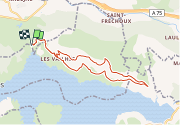
Tocht Noords wandelen van 9,4 km beschikbaar op Occitanië, Hérault, Le Puech. Deze tocht wordt voorgesteld door mdauzat.
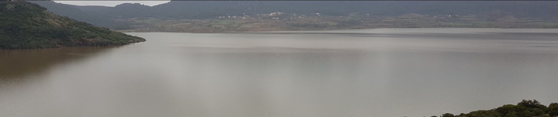
Le choix se porte naturellement sur une sortie à pied sec au lendemain des fortes pluies qui ont fait monter sensiblement le niveau du Lac du Salagou dont toute la partie ouest et nord prend une teinte rouge très marquée, tant le ravinement des ruffes rouges a été vigoureux. Le long de la piste, d'innombrables mini-cascades sont encore présentes, descendant du plateau de l'Auverne qui a été si copieusement arrosé. Le cheminement "en hauteur", passant par le charmant hameau des Vailhés, suit la belle et large piste qui domine le Lac et offre de superbes vues sur ses eaux couleur chocolat, lisses comme un miroir, sous un ciel encore gris. Le retour se fait "à l'étage au dessus", dominant les cimes des pins et des cèdres, avant de redescendre vers Les Vailhés.


Stappen

Noords wandelen

Stappen

Stappen
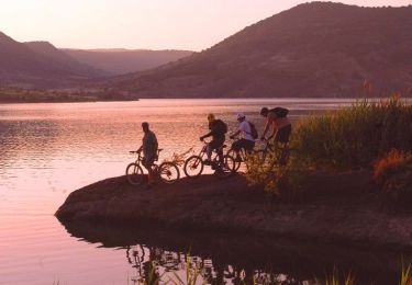
Mountainbike

Mountainbike

Stappen
Stappen
Stappen